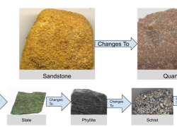
Students analyze real-time surface weather maps to identify air masses, pressure systems, and fronts. They learn to predict weather patterns, developing essential meteorology skills.
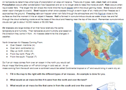
Engage students with Google Earth! They will explore Earth's stunning geologic formations by typing coordinates and searching, building essential latitude and longitude skills for global discovery.
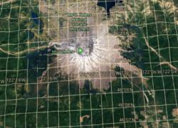
Students explore atmospheric pressure by crushing a can and calculating the powerful force of surrounding air. They learn about psia, elevation, and apply math to explain scientific observations.
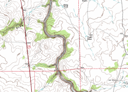
Students explore topographic maps in a lab, learning contour lines, elevation, and quadrants. They analyze maps, discovering their real-world importance in Earth Science.
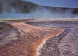
Students research six Yellowstone water features, like geysers and hot springs. They learn by gathering facts and images, creating a presentation to share their findings.
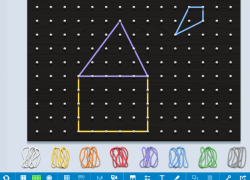
Guide students to create various 2D shapes and original images using a digital geoboard. Students explore properties, area, and perimeter through interactive design.
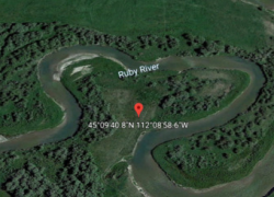
Engage students to locate surface water landforms such as meanders, deltas, and floodplains using Google Earth. They will visualize vocabulary and master geo-coordinates.
Engage students to design an experiment investigating how surface area impacts physical weathering. They use Alka-Seltzer to model rocks, developing hypotheses and drawing conclusions on weathering rates.
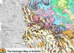
Students will analyze geologic maps to determine rock types, faults, and ages. They learn about Arizona's ancient environments and review essential Earth Science terms.
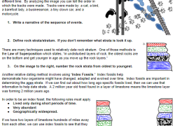
Students will learn relative dating methods by solving puzzles and numbering rock strata. They'll define superposition, index fossils, cross-cutting, and unconformities for geological sequencing practice.
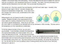
Students explore relative humidity and dew point, using psychrometers and calculators. They conduct experiments, formulate hypotheses, and discuss humidity's impact, comparing different measurement methods.
Students research eight metamorphic rocks, understanding foliated vs. non-foliated types, parent rocks, and key minerals. They'll engage in group discussions with higher-order thinking questions.