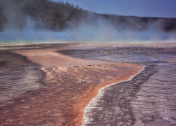
Students discover Alfred Wegener's evidence supporting Earth's changing continents and ancient supercontinent. They research fossils, climates, assemble a puzzle, and discuss findings.
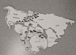
Students analyze seismogram data to triangulate earthquake epicenters. They calculate magnitudes, compare energy released, and understand seismic power, creating a professional press release.
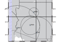
Students will build their own barometers and track daily changes. They will observe how barometric pressure correlates with high and low-pressure systems and local weather.
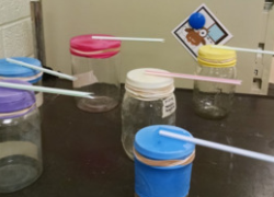
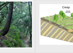
Students investigate mass movement types, their triggers, and prevention methods. They research significant landslides, exploring terms like erosion, deposition, and lahar.
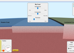
Students will explore plate tectonics, analyzing crust density and its impact on plate movement. They will compare oceanic and continental crust, predicting landform creation at various boundaries.
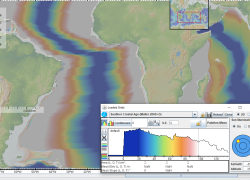
Students explore seafloor age with an online map, learning about Hess's work. They calculate spreading rates, discover age patterns, and investigate magnetic pole reversals.
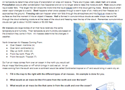
Students analyze real-time surface weather maps to identify air masses, pressure systems, and fronts. They learn to predict weather patterns, developing essential meteorology skills.
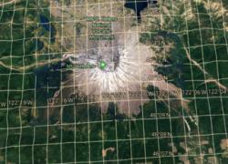
Engage students with Google Earth! They will explore Earth's stunning geologic formations by typing coordinates and searching, building essential latitude and longitude skills for global discovery.
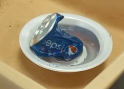
Students explore atmospheric pressure by crushing a can and calculating the powerful force of surrounding air. They learn about psia, elevation, and apply math to explain scientific observations.
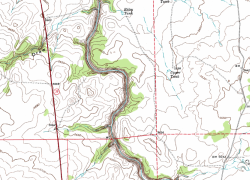
Students explore topographic maps in a lab, learning contour lines, elevation, and quadrants. They analyze maps, discovering their real-world importance in Earth Science.
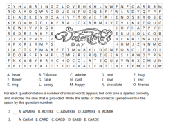
Students will discover 15 Valentine's vocabulary words through a fun word search. They will also reinforce spelling skills with an engaging identification activity.
Students research six Yellowstone water features, like geysers and hot springs. They learn by gathering facts and images, creating a presentation to share their findings.