Challenge students to design an Earth Science experiment. They will determine which sediment type exhibits the greatest porosity and permeability through hands-on investigation.
Discover how rivers curve and change shape. Students will learn core concepts of erosion, deposition, and stream formation, understanding various river landforms.
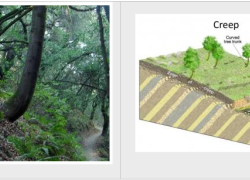
Students investigate mass movement types, their triggers, and prevention methods. They research significant landslides, exploring terms like erosion, deposition, and lahar.
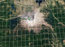
Engage students with Google Earth! They will explore Earth's stunning geologic formations by typing coordinates and searching, building essential latitude and longitude skills for global discovery.
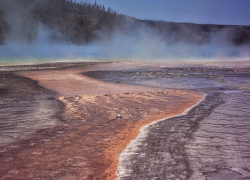
Students research six Yellowstone water features, like geysers and hot springs. They learn by gathering facts and images, creating a presentation to share their findings.
Introduce weathering and erosion concepts using an animated video. Students will grasp these key geological processes through clear scientific explanations and relatable cartoon characters.
Engage students to design an experiment investigating how surface area impacts physical weathering. They use Alka-Seltzer to model rocks, developing hypotheses and drawing conclusions on weathering rates.
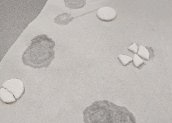
Engage students in a hands-on exploration of rock abrasion. They will classify, measure mass loss in a tumbler, and calculate change rates, revealing weathering's powerful impact.
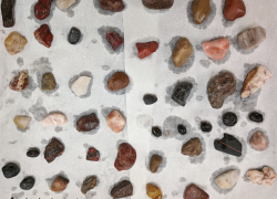
Students explore rock weathering processes by identifying examples and creating a presentation. They analyze mechanisms, agents, and climate connections, then present their findings.
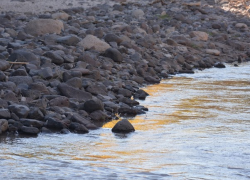
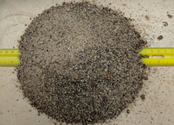
Students determine the angle of repose for sand, observing how slope impacts stability. They will compare trials, apply math skills, and analyze observations about erosion and landslides.
Guide students as they learn to identify, label, and map 25 major landforms spanning North and South America. An optional presentation enhances their geological understanding.
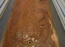
Students use stream tables to observe how rivers develop. They will explore how landslides change river courses, meanders, sediment deposition, river paths, and delta formation.