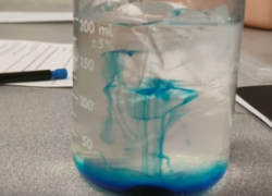
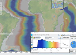
Students explore seafloor age with an online map, learning about Hess's work. They calculate spreading rates, discover age patterns, and investigate magnetic pole reversals.
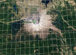
Engage students with Google Earth! They will explore Earth's stunning geologic formations by typing coordinates and searching, building essential latitude and longitude skills for global discovery.
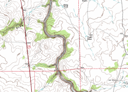
Students explore topographic maps in a lab, learning contour lines, elevation, and quadrants. They analyze maps, discovering their real-world importance in Earth Science.
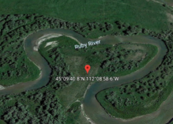
Engage students to locate surface water landforms such as meanders, deltas, and floodplains using Google Earth. They will visualize vocabulary and master geo-coordinates.
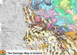
Students will analyze geologic maps to determine rock types, faults, and ages. They learn about Arizona's ancient environments and review essential Earth Science terms.
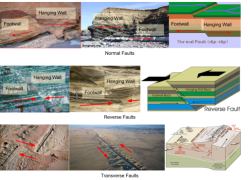
Students will use Google Drawing to create diagrams of earthquake fault types. They will identify real-world examples, apply forces like shear and tension, and label key geological structures.
Students will learn about Alfred Wegener's continental drift theory and the challenges he faced gaining scientific acceptance for his groundbreaking ideas.
Equip students to master the scientific method through a hands-on experiment. They will practice data collection, identify variables, and formulate clear conclusions.